Mount Monadnock
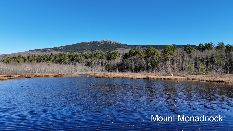
October brings fall foliage, cool temperatures and bug-free adventure to Southern New Hampshire. This is a great family day hike that gets your heart pumping but isn't as difficult as many of the trails in the White Mountains. The views from the top are spectacular.
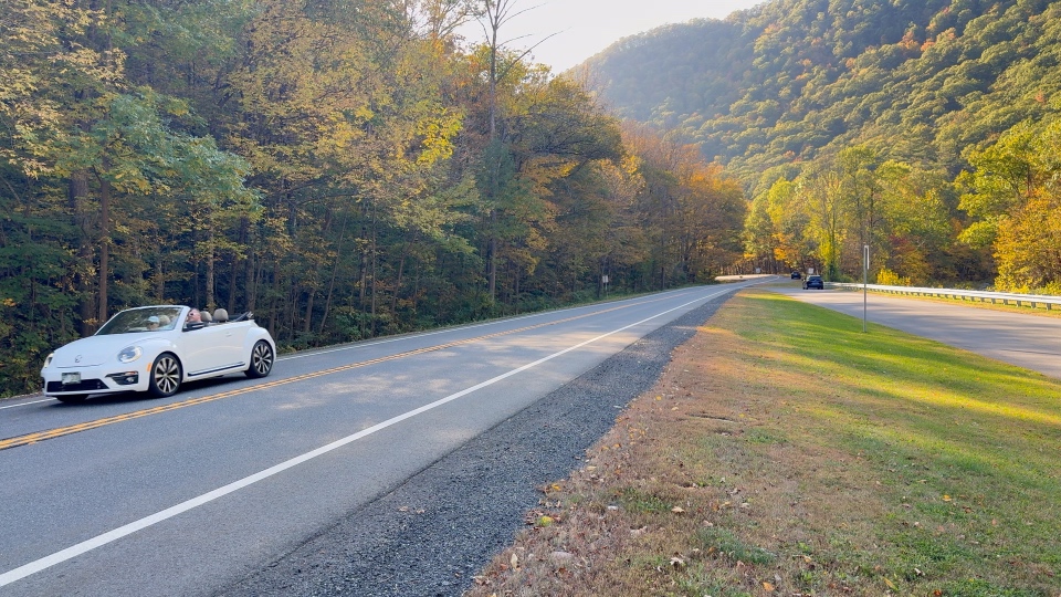
While there are many trails and access points to the mountain, Monadnock State Park Headquarters is located off Route 124 in South West New Hampshire. It is highly recommended that you reserve a parking spot in advance - especially on weekends or during the fall foliage season.
Reserve Parking (External Link)Mount Monadnock stands more than 2000' above the surrounding landscape. There are numerous stops along Route 124 for those looking to snap a photo from the bottom, but the mountain has no roads to the summit. There are also no services in the surrounding forest beyond park headquarters.
Prior to entering Monadnock State Park Headquarters you are stopped at the ranger post to confirm your parking and receive important safety updates along with a free trail map. Each person that plans to summit should have at least 2 quarts/liters of water. There are also clean bathrooms and a small snack shop.
Trail Map (External Link)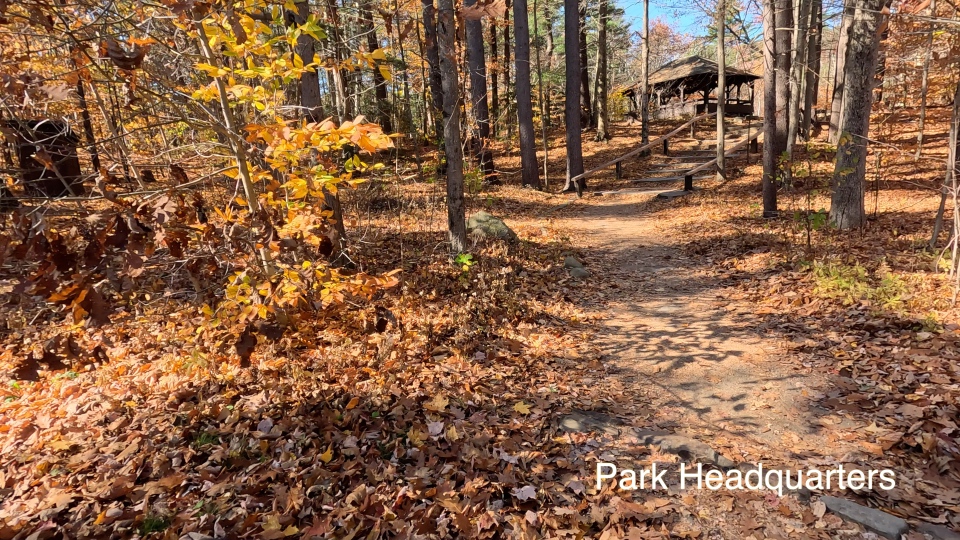
Mount Monadnock is said to be the most climbed mountain in the United States with more than 125,000 registered hikes each year. The most popular trail is the White Dot which is marked with... you guessed it... white dots. It is the shortest and steepest ascent. From park headquarters the majority of hikes begin and end via the White Dot trailhead.
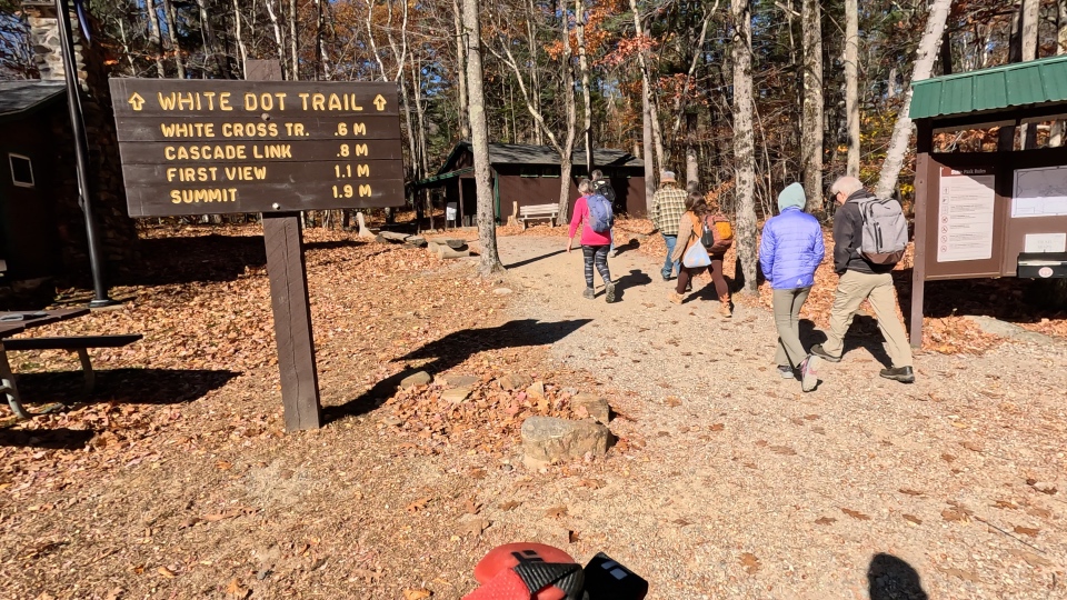
For our hike we opted to begin on the White Dot and then take a parallel trail called the White Cross. This trail breaks off from the White Dot for a slightly longer but less steep ascent before rejoining the White Dot near the summit. Many people take the White Cross on the way down, but we also take it on the way up. The trail junctions are clearly marked and easy to follow.
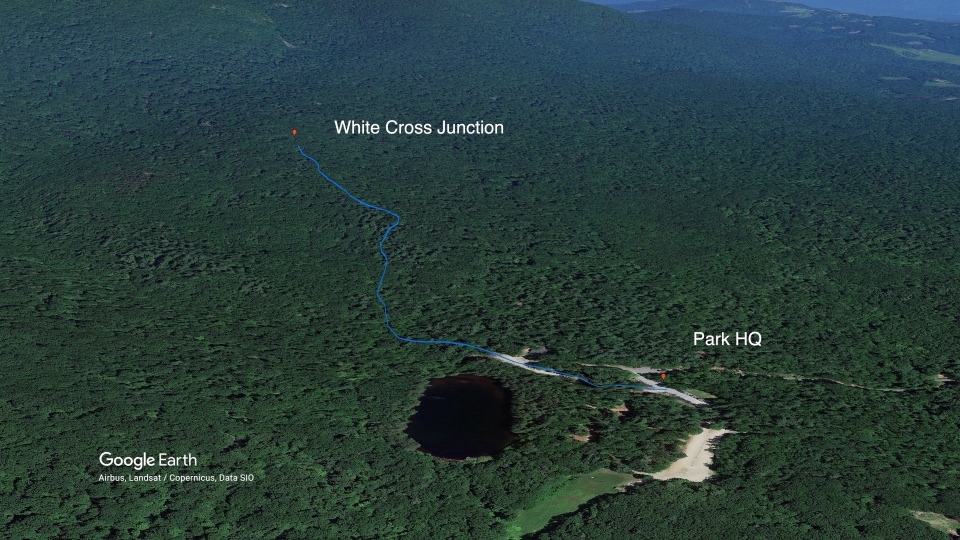
The Lower White Dot Trail up to the junction with the White Cross is well maintained with a moderate incline. We were surrounded by forest and energetic people as they were either starting or completing their hike. There are small-diameter logs laying across the trail that hold back earth and look like steps. Their real purpose is to channel water to the sides and control erosion.
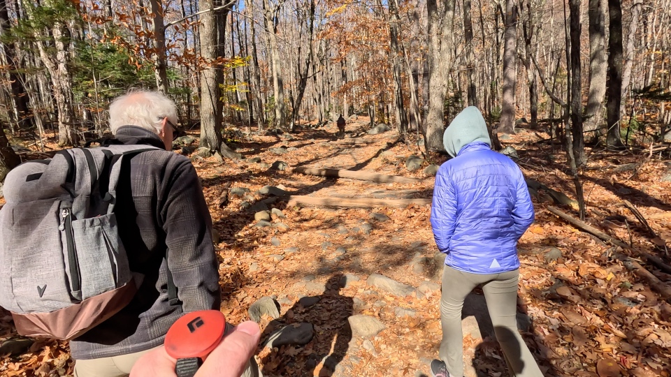
About a half mile up the White Dot is the lower junction with the White Cross. The White Cross splits off to the left and is clearly marked with painted white crosses on prominent boulders. The White Cross is a little over a mile in length.
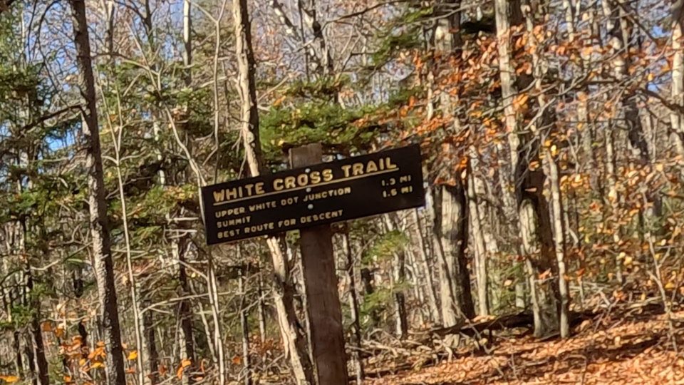
Following the white cross we planned to take a rest stop half way up for a snack.
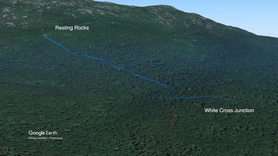
Ascending the White Cross, it begins relatively flat which offers a nice breather. This section can sometimes be muddy in the Spring, but is mostly dry in late summer and fall. The trail gets rockier as you go making good footwear essential.
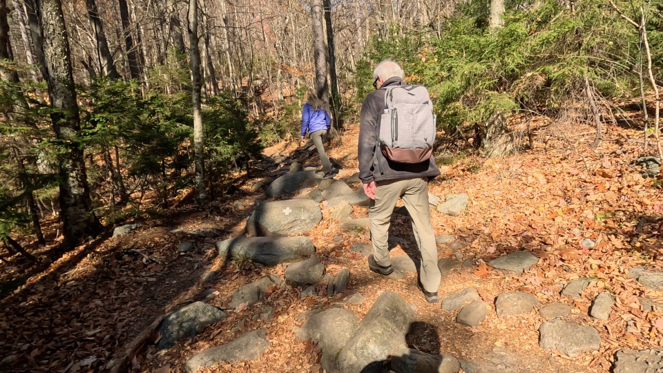
After a short distance, the trail transforms into a series of steep inclines up boulder peppered slopes. At this point we were still surrounded by forest. In my opinion this is the most difficult stretch of the entire trail as foot placement can be complicated between the boulders, fallen leaves and two-way traffic.

There is a section where the trees begin to open up and the trail briefly transitions into a series of granite steps. Off the trail to the right is a spot we call the Resting Rocks which is a great place to take a load off. It isn't marked with a sign or on maps but is a popular place for many to stop. We were lucky and had the opportunity to lay in the sun with our feet up.
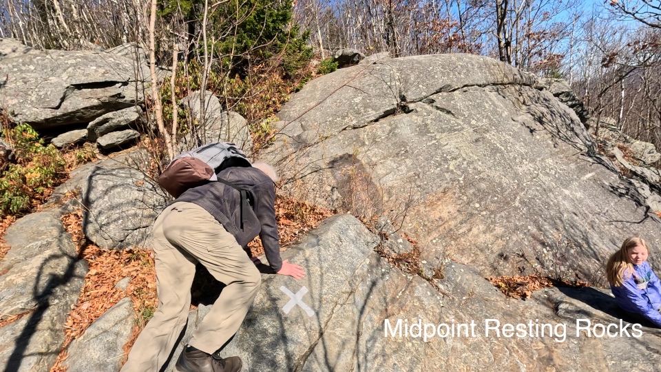
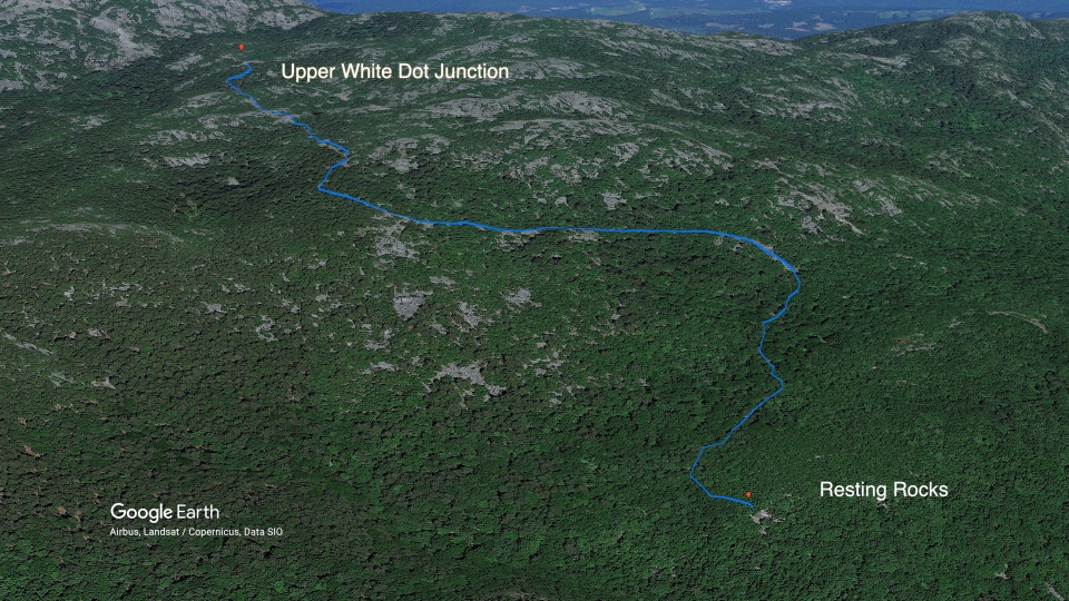
After a short rest and snack, the next section of the trail stretches to the upper junction with the White Dot.
There are some spots that require use of your hands which is a fun change of pace. These sections can be quite slick if it has recently rained.

The trees gradually get shorter and transition almost exlcusively to coniferous species. There are fewer leaves, and the trail begins to take on a different feeling. Low incline stretches traverse the mountain offering the first open views to the South.
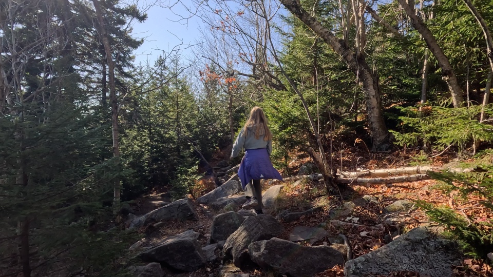
Coming out of the trees, the trail opens up and the summit comes into view.
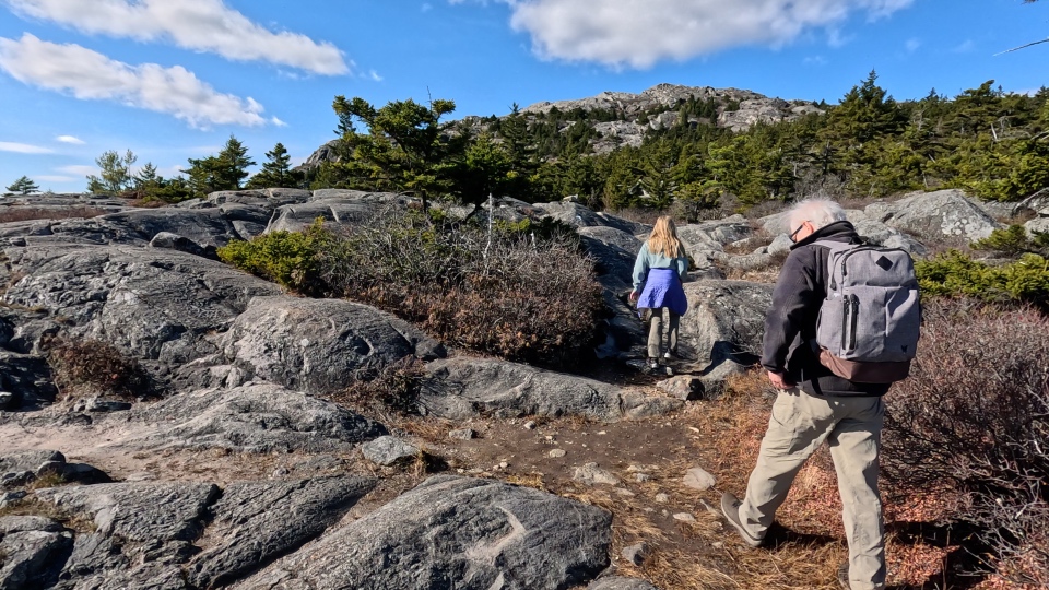
Depending on the time of year and recent weather, there may be pools of water that you can cross either by hopping stone to stone or via an epic leap.

The upper junction with the White Dot leads to the left and merges to a single trail for all those ascending.
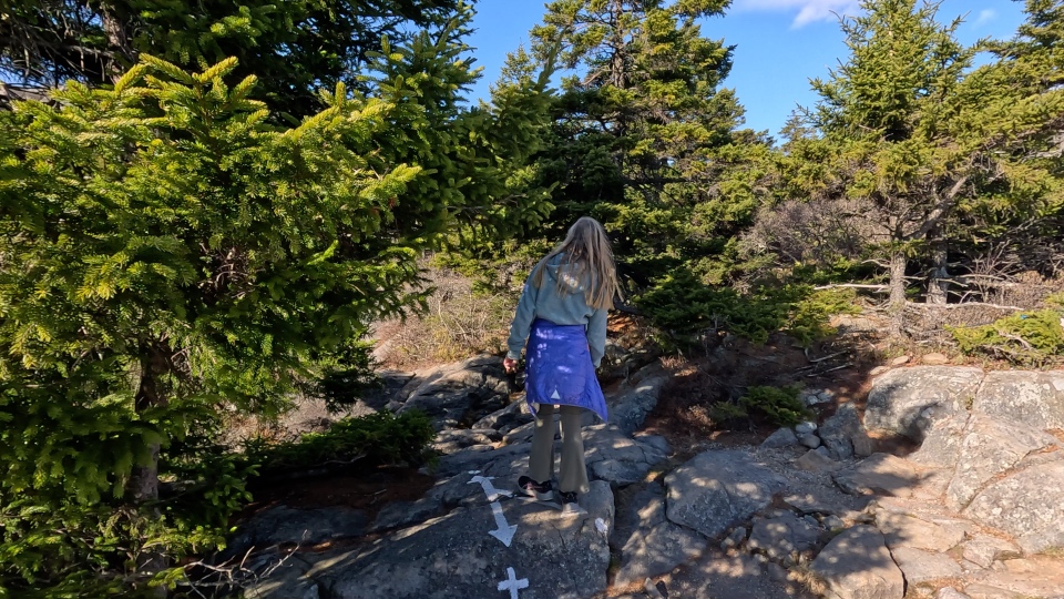
Following the White Dot to the Summit is the most spectacular section of the hike.
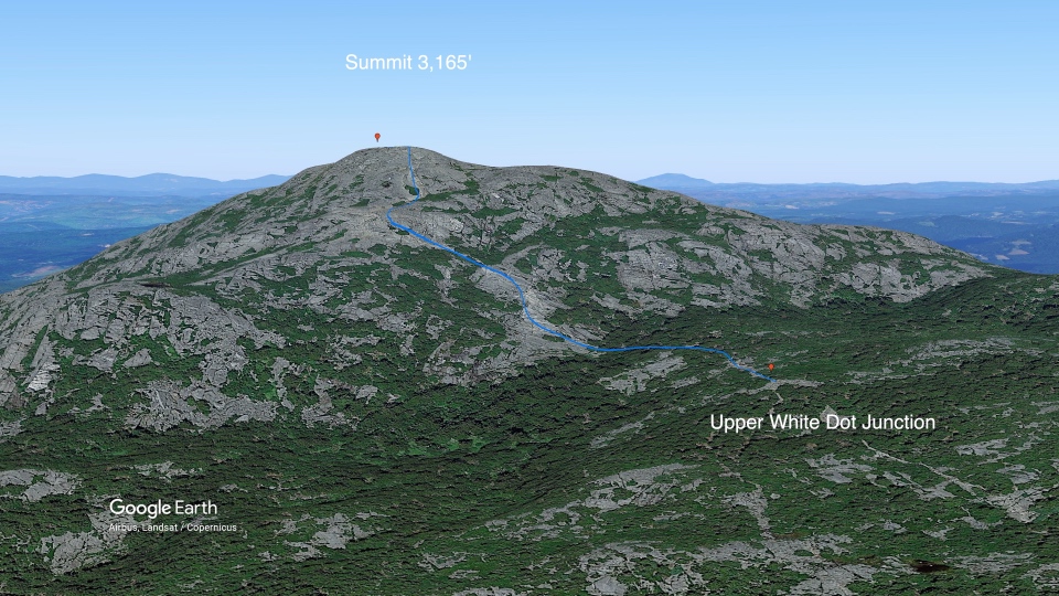
Scrambling up the rugged slabs of stone competes with expansive views for your attention. A couple stretches dip back into protected pockets of trees, but for the most part the upper White Dot is open and exposed.
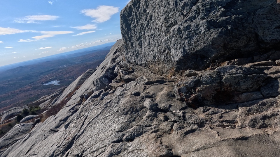
Monadnock stands alone in this area of New England and there is nothing to block the wind at higher elevations. Even during summer a shell or windbreaker is often necessary, especially when damp with sweat or stopping for any length of time at the Summit.
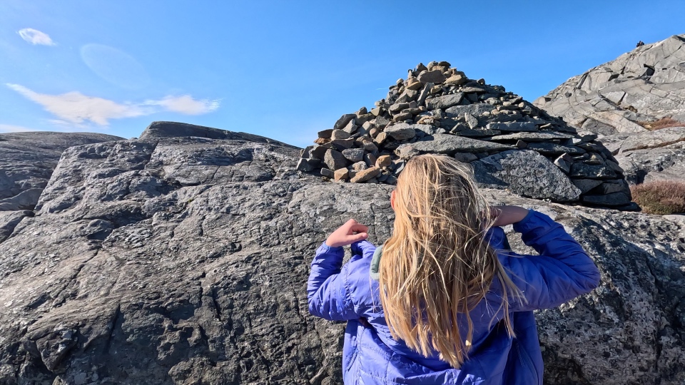
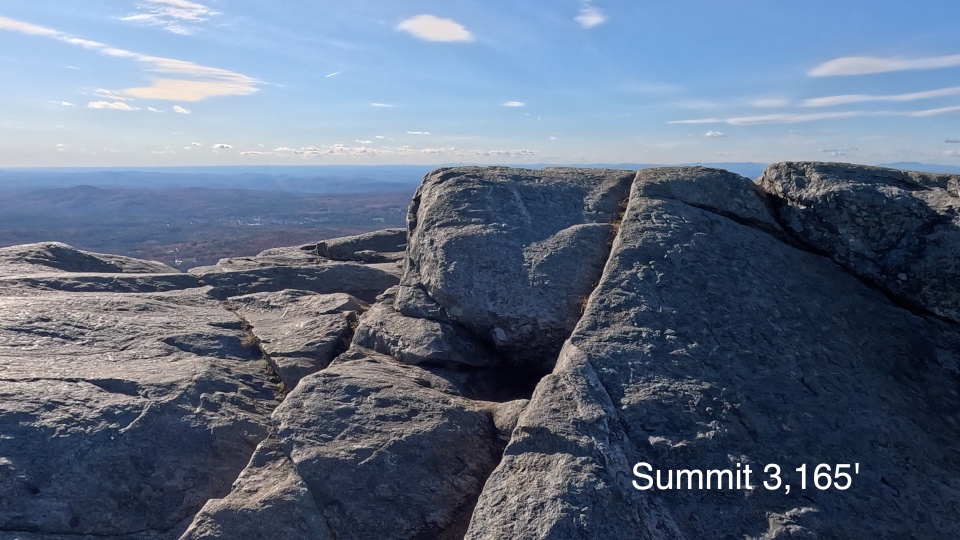
Up top in good weather there are views for days. A 360 degree horizon to horizon fish-eye panorama that includes the distant skyline of Boston, White Mountains in Northern New Hampshire, Berkshires in Western Massachusetts and the Green Mountains of Vermont. For most people the 1800 feet of elevation gain and rocky trail from park headquarters is not an easy endeavor, but the effort provides a unique perspective of the New England region.
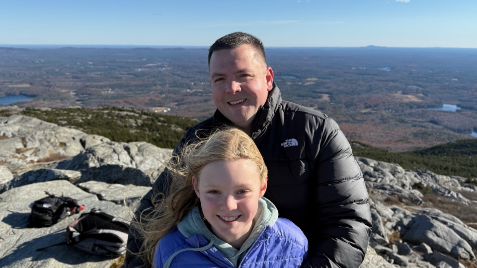
Ellie completed her first hike to the summit at age 6, and I've seen children high on the mountain as young as 3. There are many people who start the hike and don't summit (including us once) which is perfectly okay. Good footwear, a windbreaker/shell of some sort and plenty of water is essential.
Leave a comment on our YouTube channel if you have hiked Mount Monadnock or are planning to in the future. What are your recommendations for a unique experience on the mountain? Do you have a favorite trail? We give Mount Monadnock a thumbs up and highly recommend the experience!
Copyright © 2024 - 2025 Purpose Circus
